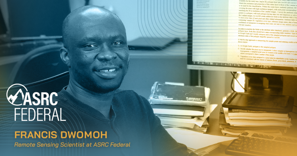
During the last several years, California has become a hotspot of climate concerns based on the escalating number of forest fires, drought, and extreme climate-related conditions. ASRC Federal’s Francis Dwomoh, a remote sensing scientist working for the United States Geological Survey (USGS) Earth Resources Observation and Science (EROS) Center, wanted to investigate the causes and measurable effects of these disturbances on the California woodlands.
Dwomoh and his team support the Land Change Monitoring, Assessment, and Projection (LCMAP) project, which focuses on understanding and monitoring landscape characteristics, natural processes and land management practices that affect our society and the environment. Their work directly contributes to our understanding of the impacts of extreme climate on nature with precise and encompassing modeling and analysis.
The team, led by Dwomoh, leveraged research from 1985 to 2016, with a specific focus on the effects of the 2012-2016 drought. According to USGS.gov, the study revealed a loss of more than 1,000 square kilometers of blue oak tree cover from fire and non-fire causes during this drought. An additional 600 square kilometers of blue oak experienced conditional change—retaining some tree cover, but diminished by insects, wildfire, or another disturbance. Blue oak tree woodlands, which surround California’s Central Valley, form one of the largest ecosystems in the state — including mature oaks that are more than one hundred years old.
The study was recently published in the scientific journal Frontiers in Climate. “Our results signify that blue oak woodlands may be vulnerable to extreme climate events and changing wildfire regimes,” Dwomoh stated. “Acting in concert with wildfires, these harsher climatic conditions may lead to major tree cover loss, with negative consequences on the plants and wildlife that depend on them, as well as the goods and services we derive from this ecosystem,” he told Frontiers.
The ASRC Federal team, in partnership with USGS scientists, developed new models of land change based on the record from the Landsat satellite series to estimate complete tree cover loss as well as conditional change. The LCMAP project models provide new capabilities including higher quality data with greater frequency than previous models, an analysis of larger areas of land cover, and the ability to distinguish between total loss and conditional changes.
Dwomoh is glad his work is building awareness about the impacts of climate concerns and plans to extend the research approach and datasets to explore change in other landscapes in the Western United States.
ABOUT USGS EROS
USGS EROS is the world’s primary source of remotely sensed land images of the earth, provides land change science information and knowledge, and is at the forefront of understanding on how changes in land use, cover and condition affect people and nature.